Join in now!
You can take part at any time
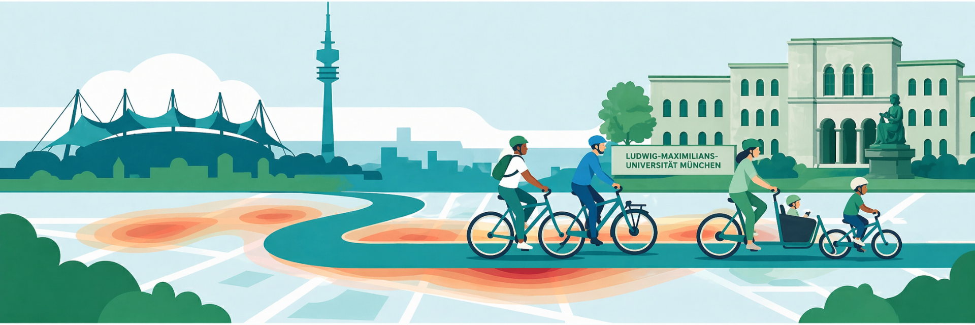
Together for safer cycling to university
A pilot by LMU Munich and BlossomEdge


In the Press



Motivation
Who we are and why we're doing this
Cycling to university is not only good for the environment and the climate, it also keeps you fit and healthy. And yet: how many unsafe or dangerous moments do you experience along the way without any of them being recorded anywhere?
That is exactly where we come in. A lack of perceived safety is one of the most common reasons why people cycle less often, or stop cycling altogether.
The Mobility Geography team and the sustainability officer of the Faculty of Geosciences want to change that, together with BlossomEdge. With the new Go-Bike app, you can easily flag exactly when and where you feel unsafe during your ride with a single tap. In addition, an AI automatically detects conflict-prone situations.
We are now launching a pilot in Munich to make visible — for the first time at scale — which routes feel safe and low-conflict from a cyclist's perspective. Your rides feed anonymously into the research and help us better understand subjective safety and develop route recommendations for the way to university.
Technology
How does it work?
Go-Bike is an app by BlossomEdge for iPhone and Android. You mount your smartphone on the handlebar, start the app, and ride to university as usual.
The principle is simple: if you experience a dangerous situation during your ride — a risky overtaking manoeuvre, a confusing intersection, too little space, or any other moment where you simply feel unsafe — you briefly tap the screen right after the situation. Go-Bike automatically saves the 5 seconds before and 2 seconds after your tap. This creates a precise record of places and situations that are perceived as unsafe and that don't show up in any statistics.
In addition, Go-Bike analyses your ride through your phone's camera using AI and can automatically detect potential risk situations. This feature is in active development — the brief tap on the screen remains the most reliable way to capture a situation.
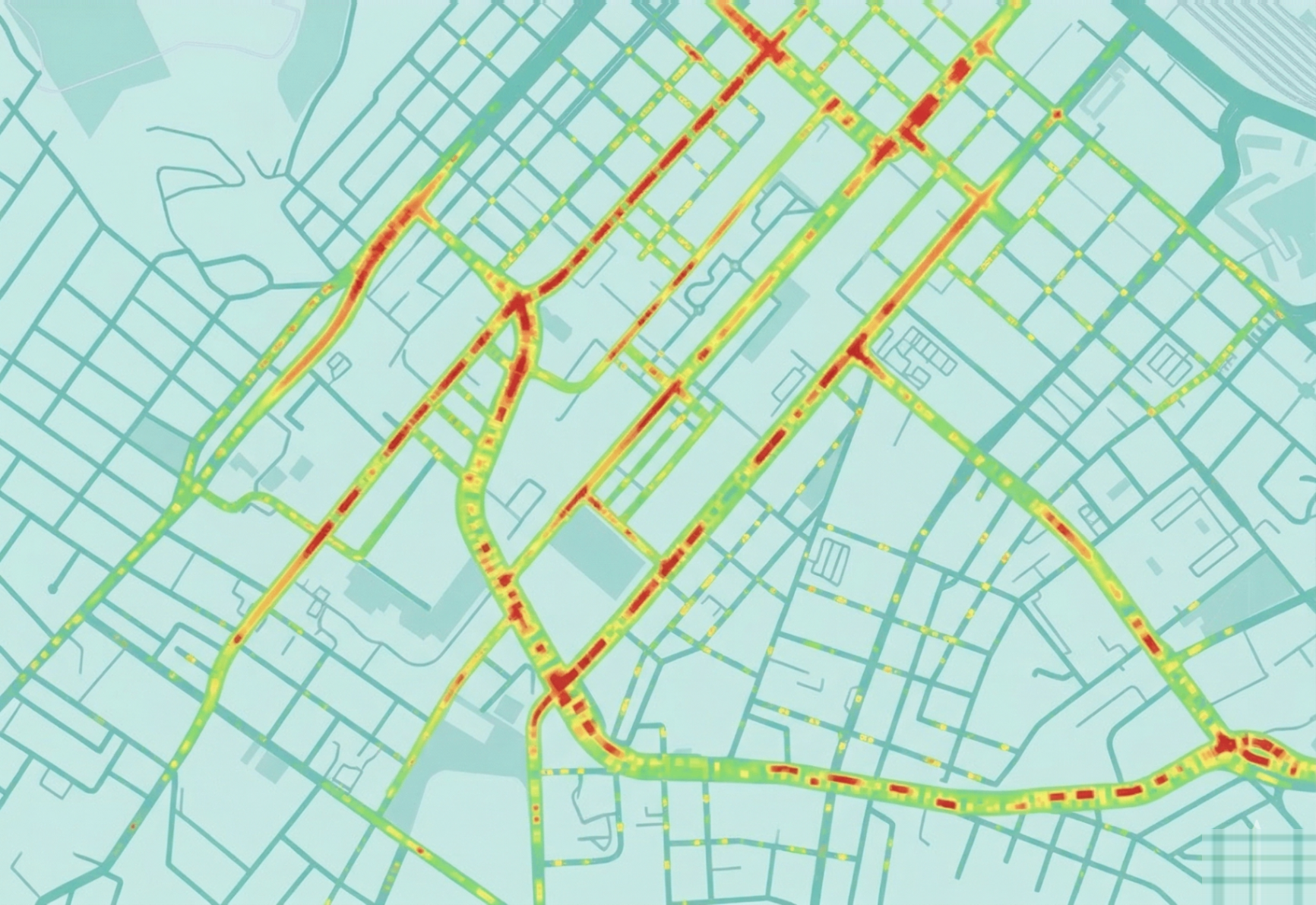
All recorded rides together form an aggregated picture: where do dangerous situations cluster? Which intersections, which streets keep appearing? That is the basis for the map (heatmap) that will be handed over to LMU as part of the pilot.
Join
How it works
Joining is straightforward. You need:
- An iPhone or Android smartphone
- A handlebar mount for your smartphone that doesn't cover the camera
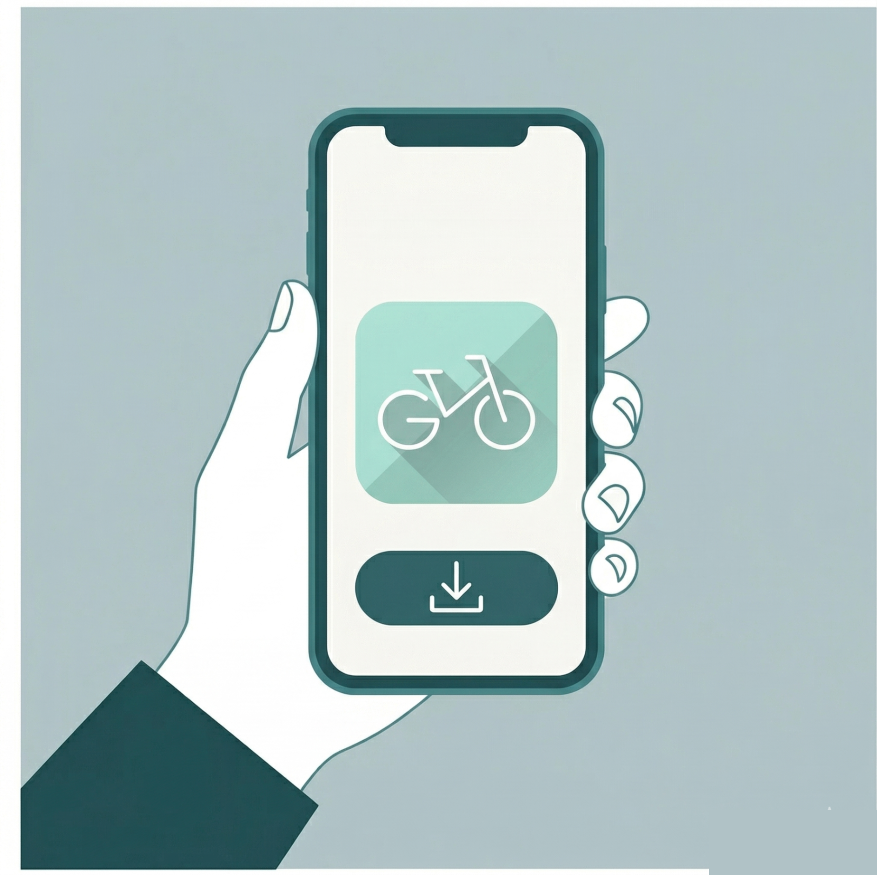
Download the Go-Bike app
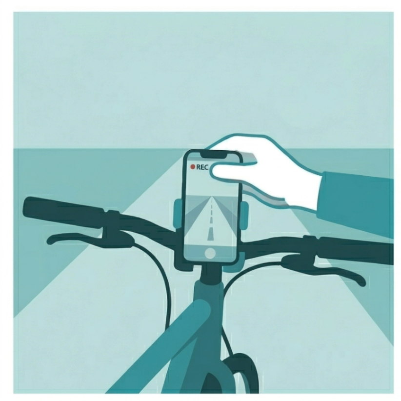
Mount
Mount your smartphone on the handlebar using the mount. The camera faces forward.
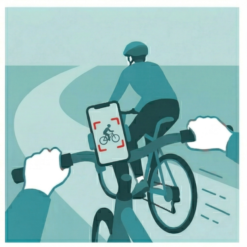
Start the app and ride
Tap ‘Start ride’ and just ride as usual. Your route is now shown on your phone. The AI automatically detects and documents risks.
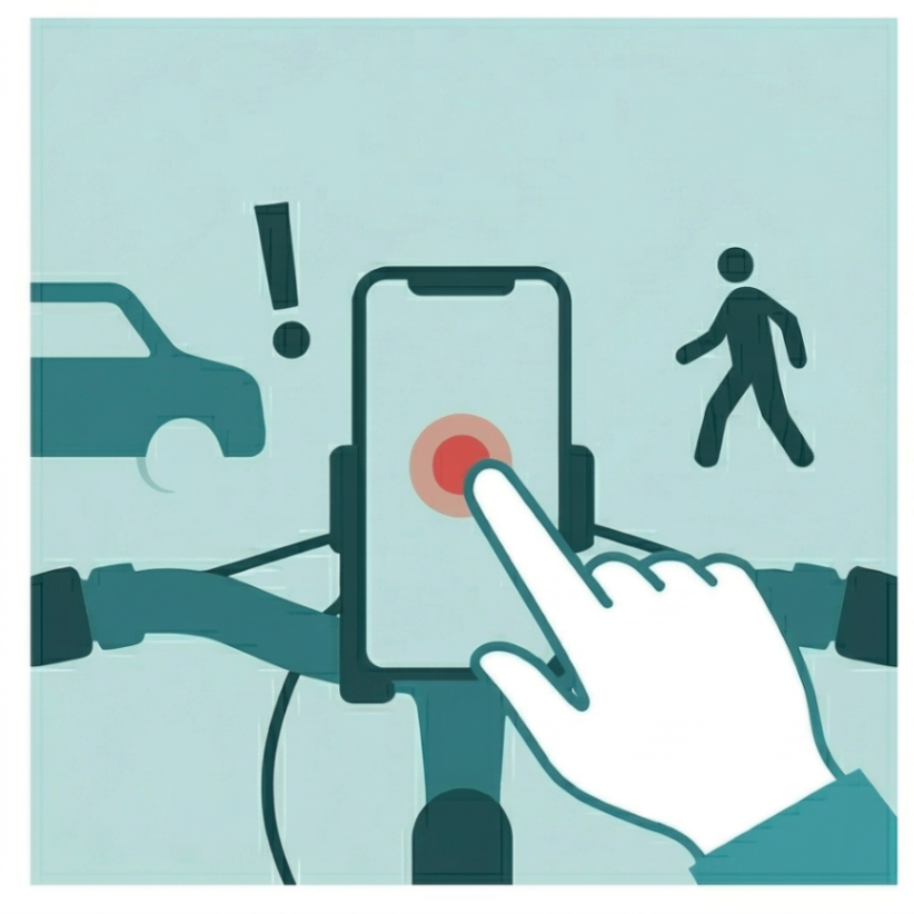
Feeling unsafe? A quick tap!
Want to manually flag a dangerous spot or moment? A brief tap on the screen is enough. This works even when you have hidden the screen.
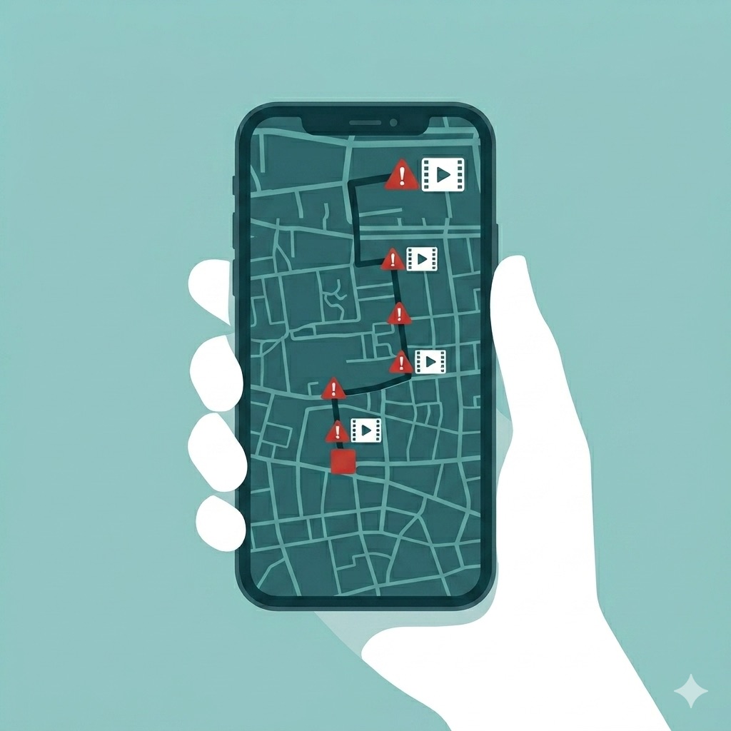
End ride and upload
Upload your ride under 'View rides' — only then does it feed into the analysis. You can view all risk situations on the map and add comments.
If you don't have a suitable mount, we will be happy to provide you with one. If you share 10 rides with us, you can keep the mount as a thank you. Alternatively, we recommend this universal handlebar mount, which works with all smartphone sizes — available for approx. €15 on Amazon.
Handlebar mount on Amazon →You can join at any time — the pilot runs on a rolling basis. Every recorded ride helps! The more rides are captured, the more meaningful the results become.
Your Impact
What happens with the results?All recorded and shared rides feed into an aggregated analysis. The data is anonymised in the process — see for more details.
The central output is a so-called heatmap: it shows where cyclists feel safe or unsafe and what triggers this — made visible through your rides. BlossomEdge will provide this heatmap to the mobility team of LMU's Department of Geography and the sustainability officer of the Faculty of Geosciences, who will use it for research and to identify good routes to the university.
During the pilot, we will keep you updated on interim results via the homepage. You will see how the picture of commuting routes sharpens with every additional ride.
Privacy
We are aware that an app that records during a ride raises questions about data privacy.
What we do concretely
You decide what is shared. Recorded rides are not automatically transmitted unless you explicitly activate this feature. After each ride, you decide whether and which data you want to contribute to the pilot. Only data you actively share feeds into the analysis.
Video recordings are anonymised before sharing. Faces and licence plates are automatically blurred before any video data is shared with third parties. No original recordings are passed on.
Rides are anonymised. The first and last sections of each ride are automatically trimmed. The start and end of your ride — typically your home or workplace — are therefore not part of the analysis.
No personal data. No personal information is linked to or shared with rides — no email address, no name, no user profile.
Who receives the data?
The anonymised analyses are shared with Ludwig-Maximilians-Universität München, who uses them for their research. What always applies: shared data is processed in such a way that it cannot be used to identify you as an individual. Your identity remains protected.
What is shared even without your explicit consent?
Even without your opt-in, BlossomEdge may share fully aggregated or anonymised data from all rides — for example, heatmaps showing where many cyclists experience risks, or average risk scores per road segment. This data cannot be attributed to any individual person or ride. This is covered by the Terms of Service you agree to when creating an account. If you additionally give your opt-in, your individual rides (anonymised, but not aggregated with other rides) may also be shared.
Anonymous identifier
If you consent to data sharing, your rides are assigned a random identifier so they can be analysed together (e.g. to detect patterns across multiple rides). This identifier is not linked to your name, email address, or account.
Full control, at any time
You can delete all your data — locally on the device and in the cloud — at any time directly through the app. You can revoke your data sharing consent at any time under Settings > Data Sharing. Data that has already been shared cannot be recalled, as it has been anonymised and can no longer be linked to you.
Participation in the pilot is voluntary and can be ended at any time.
Questions about privacy? support@blossomedge.ai
Frequently Asked Questions
Make your ride to university safer — one trip at a time.
Free. For iOS and Android.